
SK.AI analytics dashboard interpreting aerial imagery

Platform / SK.AI

Turn every flight into a decision.

SK.AI consumes drone video and returns decision-ready insight — live dashboards, automated volumetric survey and geo-fenced scheduling — on a centralised, continuously-learning industry model. Built as a Microsoft ISV partner.
Outputs

Live dashboards

Detection overlays on real aerial footage, streamed to operators in real time.

Volumetric & 3D survey

Automated point-cloud cut, fill and volume from every flight.

Geo-fenced scheduling

Plan, schedule and constrain missions to defined corridors and zones.

How it works

Capture

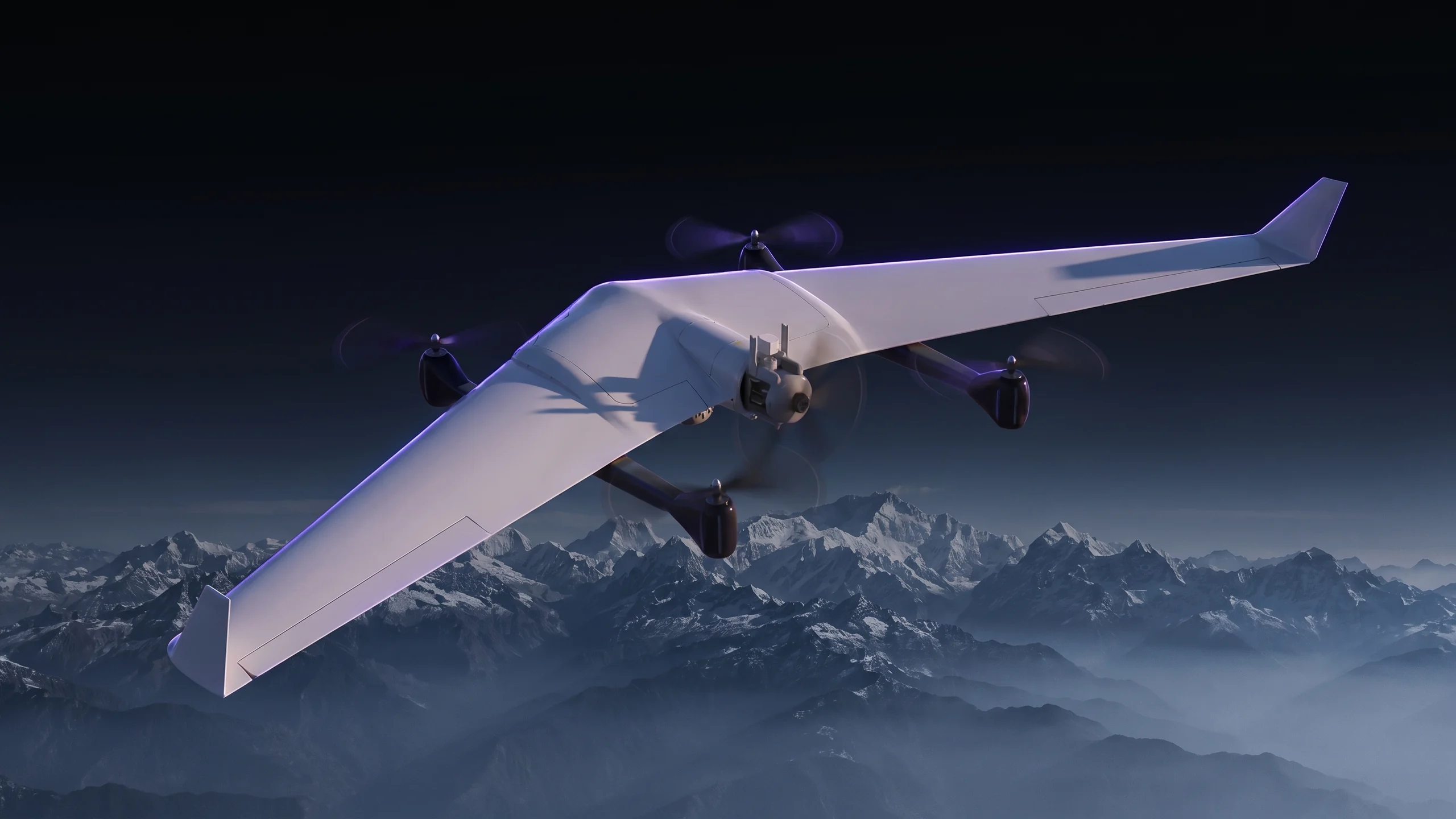
In-house UAV platforms fly the mission across RGB, thermal, LiDAR and multispectral.

Centralised model

Footage feeds a continuously-learning industry model — not a one-off script.

Decide

Operators act on dashboards, 3D survey and automated reports, end to end.

Industry models

Mining

Flagship model — human-in-blast-zone detection, illegal-vehicle flagging and volumetrics for large-scale mining operations.

Solar

Panel-fault detection across large arrays.

Wind

Blade cracks and stress mapping via thermal imaging.

Oil & gas

Fixed-path pipeline monitoring and change detection.

Partnership

Built as a Microsoft ISV partner.

SK.AI is developed and scaled on Microsoft’s cloud as a certified ISV partner — enterprise-grade security, scale and integration, on a model that improves with every sector and every flight.

Explore the platform
SK.AI analytics dashboard over aerial footage

Get in touch

Put SK.AI on your data.

Bring your drone footage or fly with Skyber — see how SK.AI turns it into dashboards, 3D survey and automated reporting for your sector.