Enterprise / Oil & Gas
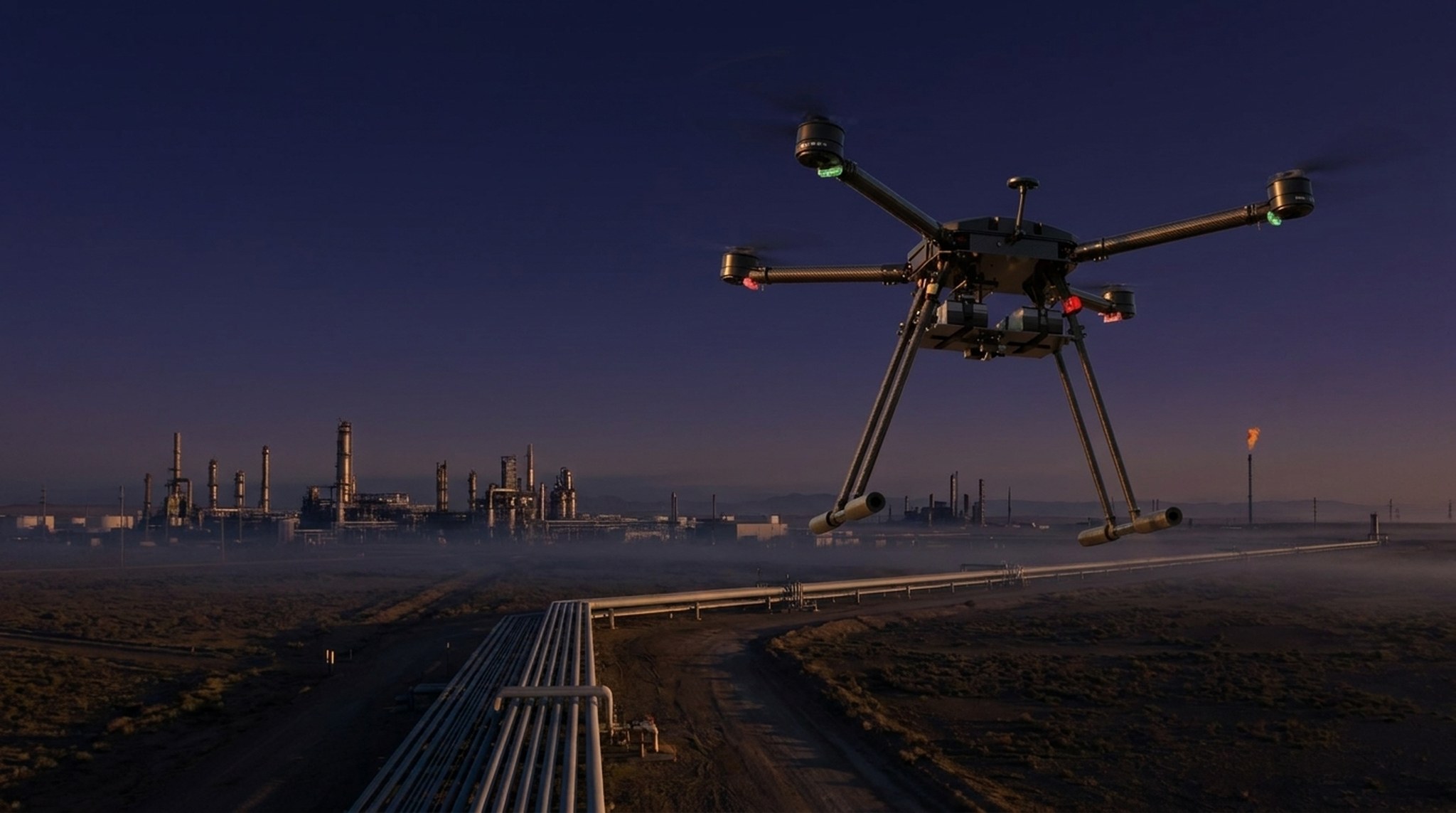
Pipeline, facility and emergency-response flights feed SK.AI — cutting inspection from days to hours, catching methane and spills early, and keeping crews off hazardous structures.

Oil & gas solutions
Pipeline inspection
RGB and thermal capture with GIS tagging, cutting inspection time by up to 90%.
Facility & asset inspection
Onshore and offshore photogrammetry for condition-based maintenance.
Environmental monitoring
Methane detection, oil-spill mapping and multispectral gas-sensor surveys.
Emergency response
Live aerial feed to command with evacuation routing during incidents.
Construction & site monitoring
Orthomosaics, volumes and progress tracking across builds.
Security & intrusion detection
Thermal and night-time perimeter monitoring of remote assets.
Surveying & terrain mapping
GNSS-referenced LiDAR for accurate site and route models.
Operational ROI
−75%
Flare-stack inspection time
−73%
Pipeline patrol effort per 100 km
−65%
Offshore platform survey time
4–6 h
Inspection cycle, down from 3–7 days
The Skyber stack — capture to decision
Capture
In-house UAV platforms fly the mission — RGB, thermal, LiDAR and multispectral — in environments others can't reach.
Analyse — SK.AI
SK.AI converts raw flight data into dashboards, volumetric 3D and automated reporting on a continuously-learning industry model.
Decide
Operators act on decision-ready insight — improving safety, cutting cost and evidencing compliance, end to end.
SK.AI · Pipeline intelligence
SK.AI runs fixed-path pipeline monitoring on real aerial footage — flagging leaks, encroachment and right-of-way changes, with automated thermal and photogrammetric reporting. Built as a Microsoft ISV partner.
Explore SK.AI →
Get in touch
From a single pipeline patrol to a fleet-scale inspection programme — see how Skyber UAV platforms and SK.AI analytics fit your operation.