Solution · Firefighting
Eyes on the fire line.
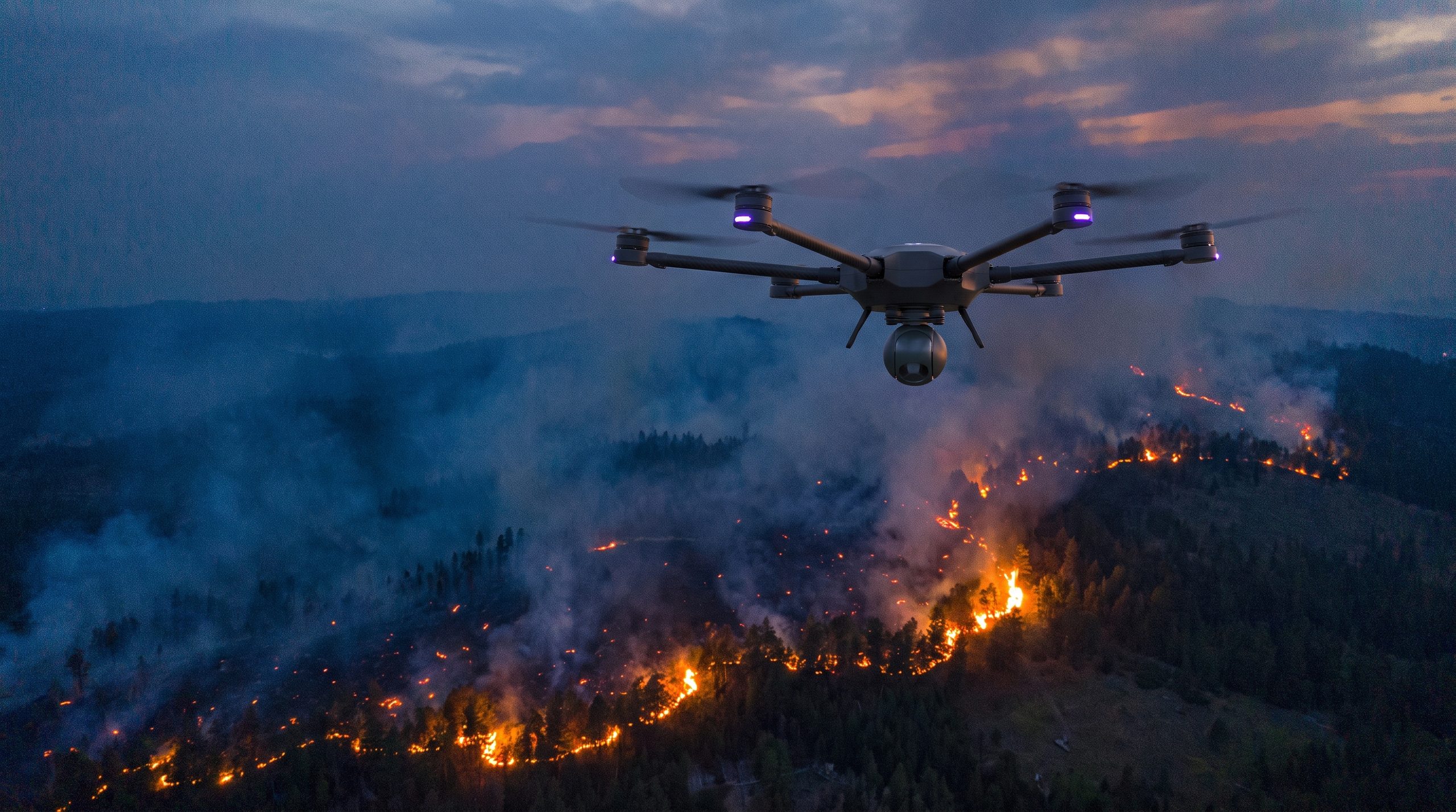
Aerial thermal intelligence for fire services — map an active wildfire in real time, pinpoint hotspots through smoke, keep overwatch on crews, and rebuild the scene in 2D/3D.
Solution · Firefighting
Aerial thermal intelligence for fire services — map an active wildfire in real time, pinpoint hotspots through smoke, keep overwatch on crews, and rebuild the scene in 2D/3D.
Operational impact
24/7
Thermal detection through smoke, day or night
2D/3D
Photogrammetric scene reconstruction
Minutes
From dispatch to first aerial picture
Capabilities
01 — Wildfire mapping
Live aerial mapping of an active fire perimeter — give incident command a current picture in minutes, not hours.
02 — Hotspot detection
Thermal imaging pinpoints hotspots and flare-ups through smoke and darkness, before they spread.
03 — Crew overwatch
Continuous aerial overwatch of ground crews and apparatus — track movement and changing fire behaviour from above.
04 — Scene reconstruction
Rapid 2D/3D photogrammetric models for post-incident analysis, cause investigation, and documentation.
Build
Faster overwatch
Get a thermal picture over an incident in minutes, not hours.
Safer operations
Keep crews out of harm's way with stand-off awareness of fire behaviour.
Better-informed decisions
Live thermal feeds and 3D models give incident command ground truth in real time.
Sovereign & in-house
Designed and built by Skyber, with data and support kept in-country.
From first report to after-action, one aerial toolkit for fire services.
Built for civil response
Made for first responders
Built for fire and emergency services — civil-response missions, not the battlefield.
Cross-mission ready
The same platform supports wildfire, structural fire, search & rescue, and disaster response.
Get in touch
Briefings for fire services, civil-protection agencies, and emergency-response operators — capability, integration, and field deployment.